


 |
 |
 |
 |
 |
 |
 |
Pulpit Rock Norway more popular than ever |
||
2 May 2007 |
||
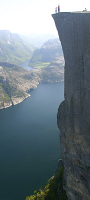 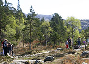 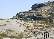 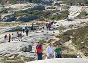 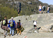 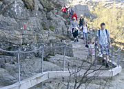 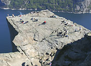 |
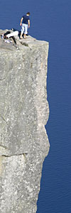
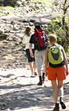
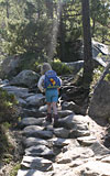
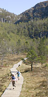
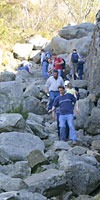
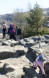
Basic FactsThe Pulpit Rock walk is quite separate to the Lysefjord boat trip - although you can see the boats from the rock, and see the rock from the boats. Each is a separate day trip from Stavanger. See here for a full explanation of your optionsIt is 3.8 km in a straight line from the car park at Preikestolhytta to Pulpit Rock, but more like 6 km each way to walk. The car park is at 270m and the rock is 604 m above the sea. It is reckoned to be a 2 hour walk each way - we think it is usually longer, but then we take a lot of photos and have rest stops. In the peak summer you can take the ferry from Stavanger to Tau and then bus to the car park - travel details from Stavanger here - we think the bus service should run longer. Although around 100,000 people will walk to Pulpit Rock this year, it is not an easy walk - make sure you have good shoes or boots, suitable (and varied) clothing plus food and drink. The path surface varies enormously, with flat rock, boulder fields, stone-paved sections, wooden raised pathways, to rough track and loose soil and rubble - which is why you need something good on your feet. A lot of work has been done on the path, especially around 8-12 years ago. The walkThe walk begins with a fairly hard climb for 500 metres from the car park up onto a plateau. Unfotunately this section is also the worst surface to walk on - loose soil and rubble - so think positive, it will get better!The next section is a lovely undulating path through pine woods looking down occasionally on the lake Refsvatnet. Many sections of the path have been "paved" with natural local stone, to reduce erosion and make the walking easier. This gives way to another climb up a wooded hillside. Many of the more difficult steps up have been made easier with extra natural stone steps along the way. From the top of this section you get lovely views over the Ryfylke, and can see Stavanger in the distance. If you do the walk later in the day this is a nice place to stop and watch the sunset, on the way down. The next section takes you across Krogebekkmyra - a flat wet boggy area that has been MUCH easier to cross since the raised wooden walkway was put in about 10 years ago. This is followed by another climb, up a boulder field through birch woodland. At the top (Neverdalsskåret) you are about half way to Pulpit Rock and the scenery changes - you're now on the mountains, not just walking in the hills. The next section traverses along beside a slope and eventually up it, and over to a lovely sheltered area with several small lakes called Tjødnane which is good for a picnic stop, and you can swim in the lakes - but not too early in the year. Passing these you walk past a map that shows the red or green path split (keep on red) on bare mountain rock towards the narrow cliff path beside Lysefjord that leads to Pulpit Rock. Enjoy the views, take pictures, check out the vertigo you didn't know that you had, relax. Now do what most people do not do - go back on the green route, not back the same way. This takes you clambering up the rocks just as you leave Pulpit Rock and rejoins the main path near Tjødnane - just keep following those red Ts. You get a great view of Pulpit Rock from above (bottom left picture) and you can take a diversion to get pictures of Preikestolen and views up Lysefjord (centre bottom picture and top right picture). Vertigo ViewsIf you like your hiking to be mixed with amazing views from the top of towering cliff faces then we can warmly recommend our other two "vertigo view" day trips in the area:Kjerag is the other famous walk in the Lysefjord area, starting above Lysebotn at the end of Lysefjord; Skomakarnibba is near Hjelmeland and takes you over moors covered in fruit waiting to be picked on the way to an overhanging cliff view. 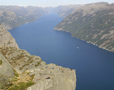 |
      |
|
News index Previous story Next story |
||
| conditions of use |
© 2004 - 2024 Stavanger Travel AS All rights reserved |
about security |
| privacy policy | contact us |